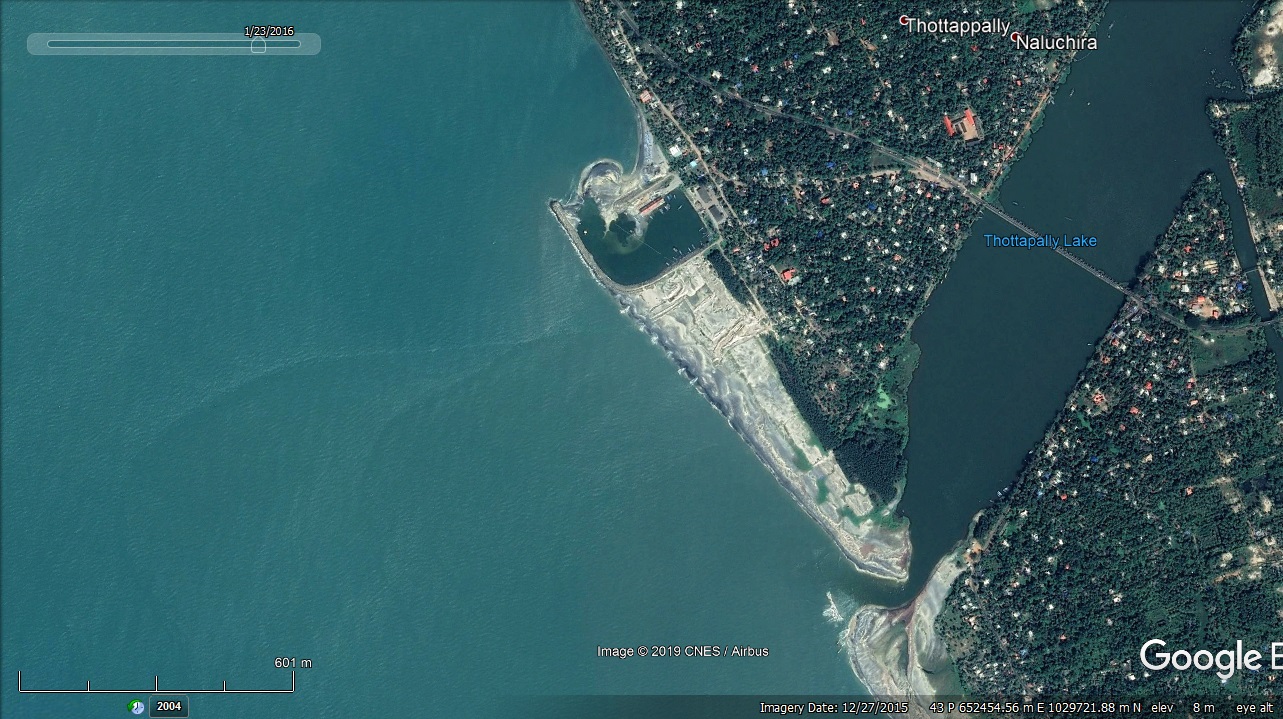
Thottappally Fishery Harbour


|
|
|
|
Type of Harbour |
Artificial Basin, Major fishing Harbour |
|
Location |
Latitude 90° 21' 10" North |
|
Longitude 76° 33' 0" |
|
|
Nearest Town |
Thottappally Ambalappuzha |
|
Road Access |
NH 66 |
|
Sanctioned date and amount |
AS. No.G.O.(Rt).201/2004/F&PD dated.29/05/2004 Rs.1458.30 Lakhs |
|
Salient Features |
|
|
Area of the Harbour basin(m2) |
37,000 m2 |
|
Length of breakwater(1) |
Southern 476 m |
|
Length of breakwater(2) |
Northern 145 m |
|
Land area available(m2) |
6530 m2 (65.30 Are) |
|
Quay length (m) |
58 m (58 x 5.70m) |
|
Auction hall (m2) |
(1) 58.00 x 18.80 (2). 32.60 x 15.50 Total - 1015.77 m2 |
|
Parking area in m2 |
2500 m2 |
|
Internal road in m. |
186m |
|
Other facilities available |
|
|
Repair Shed |
32.30 x 15.50 = 500.65 m2 |
|
Locker Room |
260 m2 |
|
Provision store |
81 m2 |
|
OH tank |
13 m2 |
|
Gate House |
100 m2 |
|
Lavatory Block |
100 m2 |
|
Loading area Hall |
182 m2 |

 Office of the Chief Engineer
 +91-0471-2459365
  +91-0471-2459365
 ce.hed@kerala.gov.in