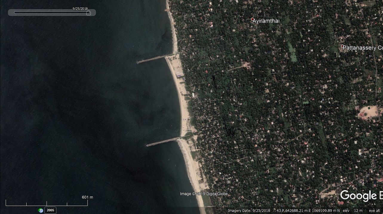
Arthunkal Fishery Harbour


|
|
|
|
Type of Harbour |
Artificial |
|
Location |
Latitude : 9° 4 N |
|
Longitude: 76° 19' E |
|
|
Nearest Town |
Cherthala |
|
Road Access |
Arthunkal from SH 66 |
|
Sanctioned date and amount |
|
|
1st stage |
A.S.No.G.O.(Rt).579/07/F&PD dated.07.09.2007 Rs.500 Lakhs |
|
2nd stage |
A.S.No.G.O.(Rt).64/2013/F&PD dated.30.01.2013 Rs.4939 Lakhs |
|
Salient Features |
|
|
Area of the Harbour basin(m2) |
600 x 410 = 24600 m2 |
|
Length of breakwater - 1st stage |
|
|
South break water |
140 m |
|
North Break water |
140 m |
|
Length of breakwater - 2nd stage |
|
|
South Break water |
934 m |
|
North Break water |
150 m |
|
Land area available (m2) |
2.65 Acre. |
|
Quay length (m) |
100 m |
|
Auction hall (m2) |
50 x 8.55 = 427.50 m2 |
|
Parking area in m2 |
3600 m2 |
|
Internal road in m. |
642 m |
|
Other facilities available |
|
|
Existing Structure |
Kerosine bunk operated by Malsyafed. |
|
Proposed Structure |
Canteen , Toilet block, Locker room, Wharf, Auction hall 2nos.,Covered fish loading area , Water tank , Compound wall and gate Gate house. |

 Office of the Chief Engineer
 +91-0471-2459365
  +91-0471-2459365
 ce.hed@kerala.gov.in