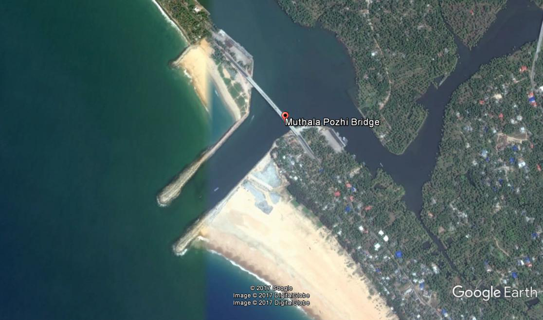
Muthalapozhy Fishery Harbour


|
|
|
|
Type of Harbour |
Esturine |
|
Location |
Latitude: 8 3'N |
|
Longitude : 76 50" E |
|
|
Nearest Town |
Attingal, Chirayinkeezhu |
|
Road Access |
Veli- Perumathura road at South, Thazhampally-Anchuthengu- Varkala/Chirayinkil road |
|
Sanctioned date and amount |
STAGE1- 1366 lakhs vide G.O.(Rt) No.218/2000/F&PD Dtd. 26.05.2000 |
|
Major additions |
groyne in stage 2 |
|
Salient Features |
|
|
Area of the Harbour basin(m2) |
50000 |
|
Length of breakwater(1) |
480m (South) |
|
Length of breakwater(2) |
420m(North) |
|
Land area available(m2) |
9800(North),3669(South) |
|
Quay length (m) |
155m(North),75m(South) |
|
Auction hall (m2) |
866(North), 6409(South) |
|
Parking area in m2 |
2288(South), 4048(North) |
|
Internal road in m. |
240m(North), 92m(South) |
|
Other facilities available |
|

 Office of the Chief Engineer
 +91-0471-2459365
  +91-0471-2459365
 ce.hed@kerala.gov.in